
What Is the Great River Road?
The Great River Road is a federally designated National Scenic Byway - actually a network of state highways and local roads - that traces both banks of the Mississippi River from Lake Itasca in northern Minnesota to the Gulf of Mexico near New Orleans. Running through 10 states, the full route stretches approximately 3,000 miles and passes through landscapes as varied as the country itself: boreal forests, limestone bluffs, river towns frozen in time, industrial flatlands, cotton fields, and bayou wetlands.
Rather than a single continuous highway, the Great River Road is a stitched-together corridor. Green-and-white pilot's wheel signs mark the route along each state's roads, though signage consistency varies. In some stretches you'll glide along two-lane roads hugging the riverbank; in others, the river briefly disappears behind levees or private property. That variability is part of the experience.
The Route Runs Both Banks
The Great River Road officially designates routes on both the east and west banks of the Mississippi. You don't have to commit to a single side for the entire trip - many travelers mix and match based on which towns interest them most. Just note that frequent river crossings add time and occasionally require ferry scheduling.
Choosing Your Segment: Upper, Middle, or Lower Mississippi
Few travelers tackle the entire route in a single trip - and most who've driven it wouldn't recommend trying. The Mississippi tells three distinct stories depending on where you are.
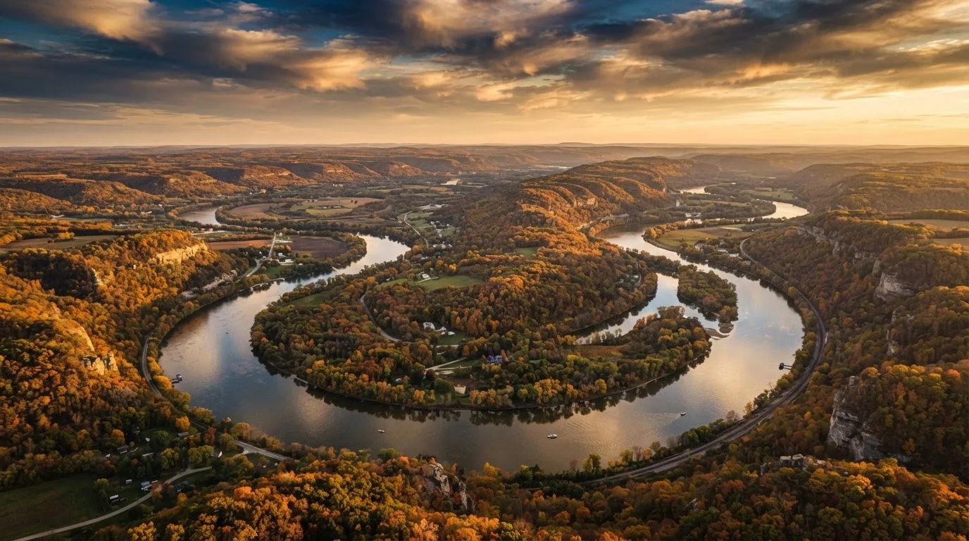
Upper Mississippi (Minnesota and Wisconsin): This is bluff country. The river cuts dramatically between glacially carved ridges, and small towns like Winona, Minnesota, and La Crosse, Wisconsin, sit in valleys that feel almost alpine. Fall foliage here rivals New England, and bald eagle sightings are common from October through February.
Middle Mississippi (Iowa, Illinois, Missouri, Kentucky, Tennessee): The river broadens and slows. This segment passes through the heartland - Civil War history in Vicksburg, Mark Twain's hometown of Hannibal, Missouri, and the working river culture of towns built around grain elevators and towboats. The landscape flattens, but the cultural depth deepens.
Lower Mississippi (Mississippi, Arkansas, Louisiana): The river becomes something elemental here - wide, slow, and almost mythic. Plantation history, Delta blues, and Cajun culture converge. The landscape shifts to cypress swamps and agricultural flats, and New Orleans makes for an unforgettable southern terminus.
Drive the upper Mississippi in mid-October rather than peak September - crowds thin noticeably and foliage color is often just as vivid.
September holiday weekends draw heavy traffic to popular Wisconsin and Minnesota river towns; a two-week shift offers nearly the same scenery with far fewer visitors competing for overlooks and parking.
When crossing between the east and west banks, plan your bridge crossings around your overnight stops rather than scenic curiosity - it saves significant backtracking.
River crossings can add 20-40 minutes of driving at each detour, and bridges cluster in unexpected patterns; planning ahead prevents frustrating doubling-back on slow two-lane roads.
Iconic Stops Worth Planning Around
Some destinations along the Great River Road have earned their reputations honestly and deserve the time most itineraries budget for them.
- Natchez, Mississippi: One of the oldest cities on the river, Natchez sits on a dramatic bluff above the water and holds a remarkable concentration of antebellum architecture alongside a complicated history that deserves honest engagement.
- Galena, Illinois: This remarkably preserved 19th-century town looks as though it skipped the 20th century entirely. It once rivaled Chicago in commercial importance, and its downtown still reflects that ambition.
- New Orleans, Louisiana: A logical endpoint for anyone driving south, New Orleans rewards a multi-day stay. The city's relationship with the river - and with risk - is central to understanding it.
- Red Wing, Minnesota: Often overlooked in favor of more famous stops, Red Wing offers riverfront scenery, Barn Bluff hiking, and a genuine small-city character worth a half-day detour.
Underrated Gems Most Drivers Miss
The Great River Road's best surprises aren't the marquee stops - they're the places GPS routing tends to bypass.
Alma, Wisconsin is a river town so narrow it fits between the bluffs and the water on a single street. The overlook at Buena Vista Park gives one of the finest views on the entire upper stretch. Cairo, Illinois - pronounced "KAY-ro" locally - sits at the confluence of the Mississippi and Ohio Rivers, a once-thriving port now in visible decline but with a haunting historical weight. Port Gibson, Mississippi, which Ulysses Grant reportedly declared "too beautiful to burn," contains Gothic churches and antebellum structures largely unknown outside the region.
Plan at least one unscheduled afternoon. The river rewards wandering.
3,000+
Miles in the full Great River Road network
The route spans 10 states along both banks of the Mississippi River, from Minnesota to Louisiana.
10
States traversed by the route
Minnesota, Wisconsin, Iowa, Illinois, Missouri, Kentucky, Tennessee, Arkansas, Mississippi, and Louisiana are all included.
2,340
Miles the Mississippi River flows from source to Gulf
The river itself is the fourth-longest in the world and drains roughly 40% of the contiguous United States.
Practical Planning: Timing, Logistics, and What to Expect
The Great River Road has no single best season - it depends entirely on which segment you're driving and what you want from it.
The upper river is at its most dramatic in September and October when fall color peaks, but spring brings significant flooding risk that can close low-lying roads. Summer draws the most visitors to river towns and comes with heat and humidity that intensify the further south you travel. Winter driving on the upper stretch is possible but challenging in Minnesota and Wisconsin.
Allow more time than you think you need. Distances that look manageable on a map often involve slow two-lane roads, ferry crossings, and towns genuinely worth stopping in. Budget roughly 100-150 miles per driving day if you want to absorb the experience rather than simply cover ground.
Some stretches of the route cross the river via free bridges; others use state-operated ferries that run on seasonal schedules and may not operate in high water. Check ferry schedules directly with each state's department of transportation before building them into your itinerary.
Flooding Can Close Roads Without Much Warning
The Mississippi River floods seasonally - and sometimes unpredictably - along all segments of the route. Low-lying riverside roads and ferry landings are especially vulnerable. Before departure, check road conditions with each state's department of transportation and consult the National Weather Service river forecast for your corridor. Building schedule flexibility into your itinerary is strongly recommended rather than relying on a fixed daily route.
Driving Tips and Road Realities
The Great River Road is scenic, not necessarily streamlined. Here's what experienced river road drivers have learned the practical way.
Navigation: Rely on physical maps or downloaded offline navigation. Cell coverage drops reliably in the Mississippi River bluff corridors of Wisconsin, Minnesota, and Missouri. The pilot's wheel signs are helpful but not universal - some turns are unmarked.
Fuel and food: Gas stations and restaurants thin out quickly between river towns on the upper and middle stretches. Fill your tank when you see a station, and don't bank on the next town having services.
Road surface: Many sections follow county or township roads rather than state highways. Road quality varies, and some river-bottom segments become impassable after heavy rain.
One bank or two: Experienced drivers often recommend picking one side of the river for a given segment rather than constantly crossing bridges. The east and west banks offer genuinely different perspectives - plan which side suits your interests rather than zigzagging indiscriminately.
The Mississippi doesn't ask to be rushed. The travelers who get the most from this route are the ones willing to stop when something catches their eye - and this is a road that catches eyes constantly.